 LDB Arquitectura
Territorial Observatory
Reading the territory to make better decisions about the city.
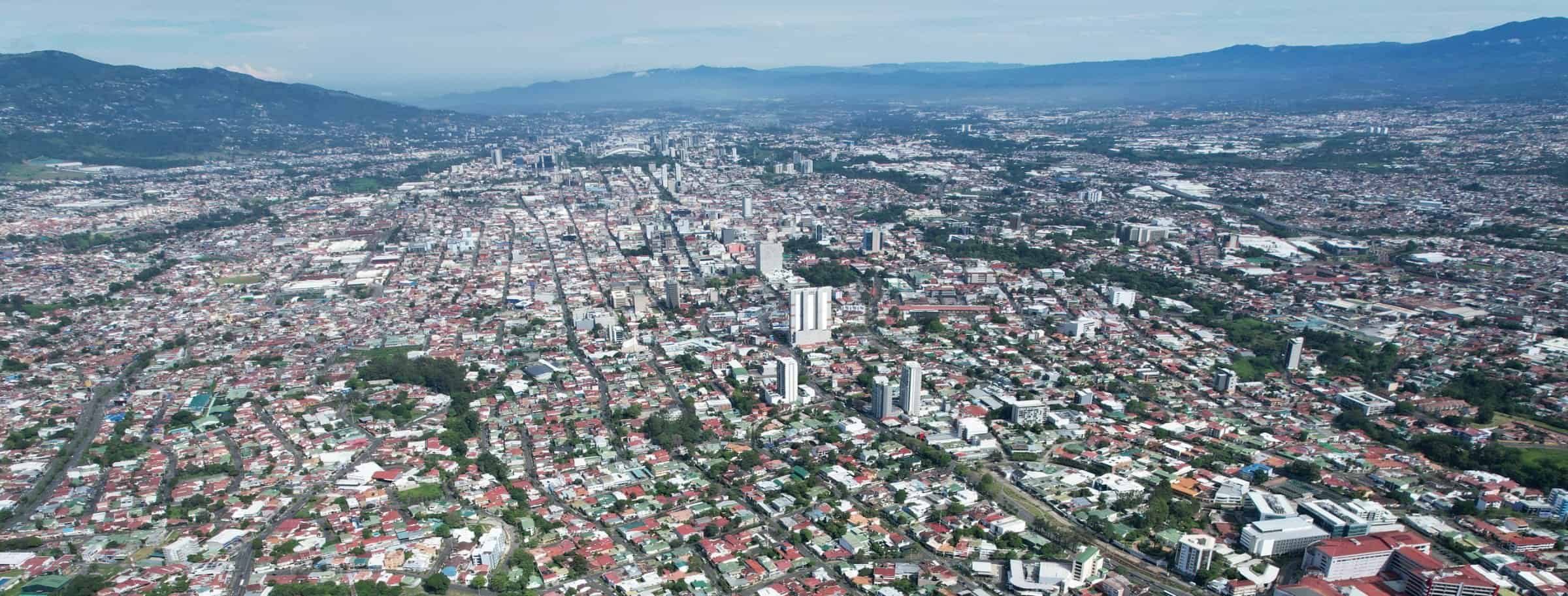
The Territorial Observatory of LDB Arquitectura reads Costa Rica’s territory through architecture, the city and investment. It crosses the 84 cantons and 492 districts with more than 500 variables in maps and analysis for those who make decisions about the city, public policy and investment. Its outlook is propositional and it is also built with the questions of those who read it.
Atlas
From the most recent to the first
 492 districtsOpen map
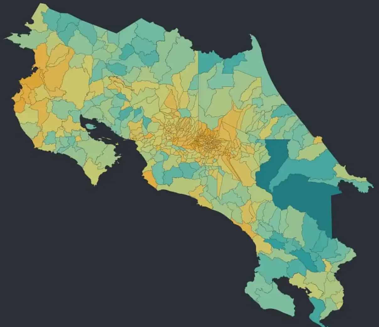
Land value by district
Land value records the decisions of a country. This map estimates it district by district with a proxy index built with economic, social and educational development indicators for each district. Where public investment and private confidence coincided, prices hold.
 DistrictsOpen map
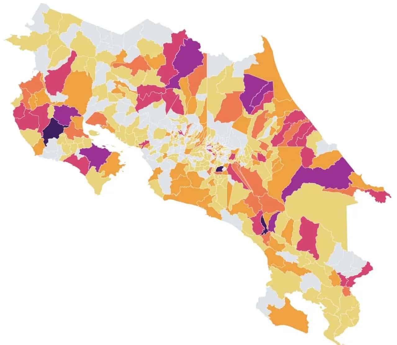
CEN-CINAI by district
The CEN-CINAI childcare network is present in more than two thirds of the districts. Shifting ₡40,000 million from its 2026 budget resizes that network. The need for childcare follows the geography of poverty more than the number of births.
 TerritoryOpen map
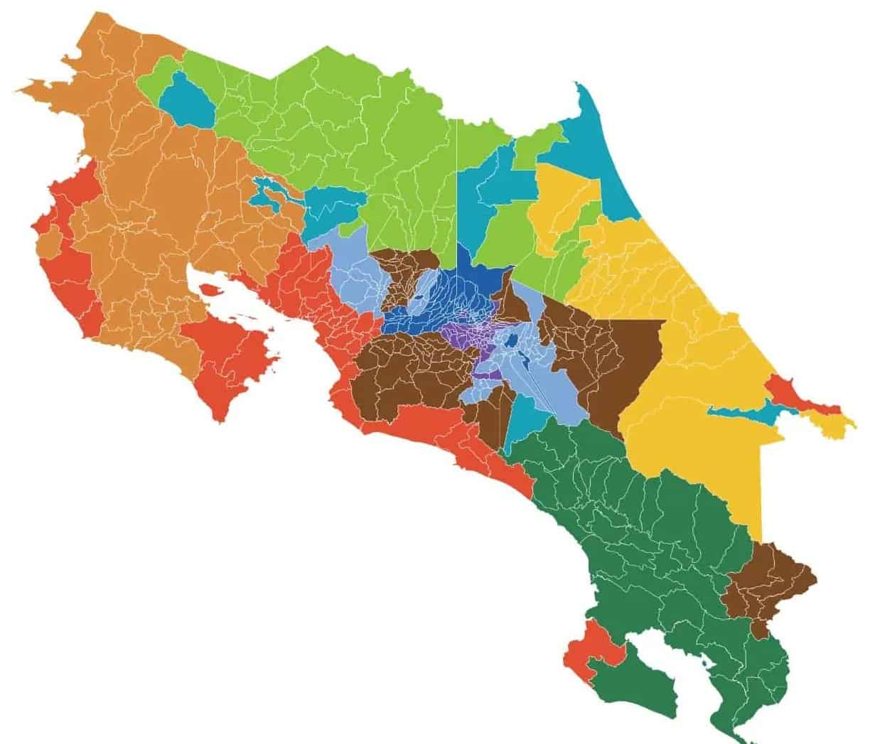
Export vocation
Costa Rica’s export map is a mosaic of pineapple, coffee, bananas, palm oil, medical devices and tourism. That territorial diversity coexists with a concentration of value, because almost half of goods exports come from medical devices.
 DistrictsOpen map
Dependence on the CCSS
About 71% of the country’s health spending is financed with public funds, mainly the Caja’s insurance (CCSS), according to the OECD. In the ring of the Greater Metropolitan Area there is a private way out, but in Buenos Aires, Chirripó or Chira the Caja is the whole system. Each region experiences it differently.
 DistrictsOpen map
Digital divide
There are 51 districts with download speeds below 20 Mbps and 107 below 50 Mbps, according to SUTEL open data. Talamanca, Upala, Los Chiles, Buenos Aires and Coto Brus lead a divide that decides which territories can receive population.
 DistrictOpen map
Cutris, northern border
Cutris shares with Pocosol the highest tree cover in San Carlos and ranks among the least developed districts. With more than 11,000 inhabitants according to the 2022 Census, its environmental capital on the northern border is ready to translate into infrastructure and connectivity.
 DistrictsOpen map
Electricity mix and 2050 vision
The country generates its electricity with dozens of public, private and cooperative plants, from Bagaces to Siquirres. Sustaining that model calls for going from about 3,600 installed megawatts to more than 8,000 by 2050, according to ICE, with each source in its own geography.
 CantonsOpen map
Capacity for the CPTPP
The CPTPP connects the country with twelve economies and 15% of world GDP, but that access does not reach every canton equally. Tarrazú, Dota and León Cortés produce the coffee Asian markets ask for, with critical territorial investment needs.
 CantonsOpen map
Female employment by canton
In the first quarter of 2026, 56,000 jobs were lost and 80% of them were held by women, according to the INEC Continuous Employment Survey. Where childcare, transport and nearby training are missing, women absorb what infrastructure does not solve.